The mission also supports a unique public access project, by using the Internet to allow access to the images and to suggest future sites of investigation by both the science community and the general public, it has opened up space exploration in a way never before attempted. Over 80 000 people have so far participated in the project by choosing investigation areas or helping to identifying geological features.
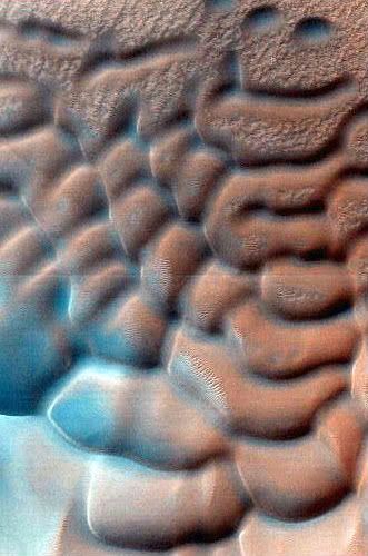 Image Credit: NASA/JPL/University of Arizona
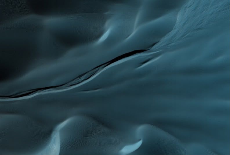
Dunes with Unusual Gully, Image Credit: NASA/JPL/University of Arizona.
This image, taken on the eastern edge of a dune field in a large, degraded crater in the southern hemisphere shows unusual features associated with two different types of dune systems.
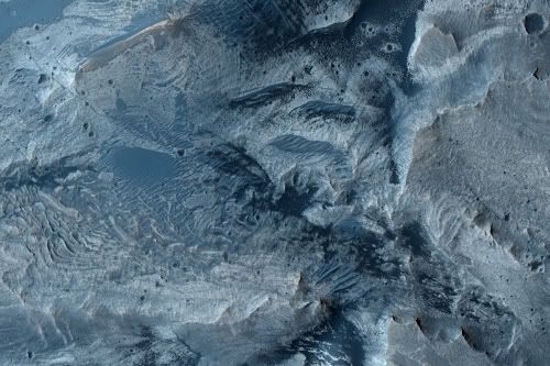 Image Credit: NASA/JPL/University of Arizona.
Dunes of Floor of Candor Chasma.
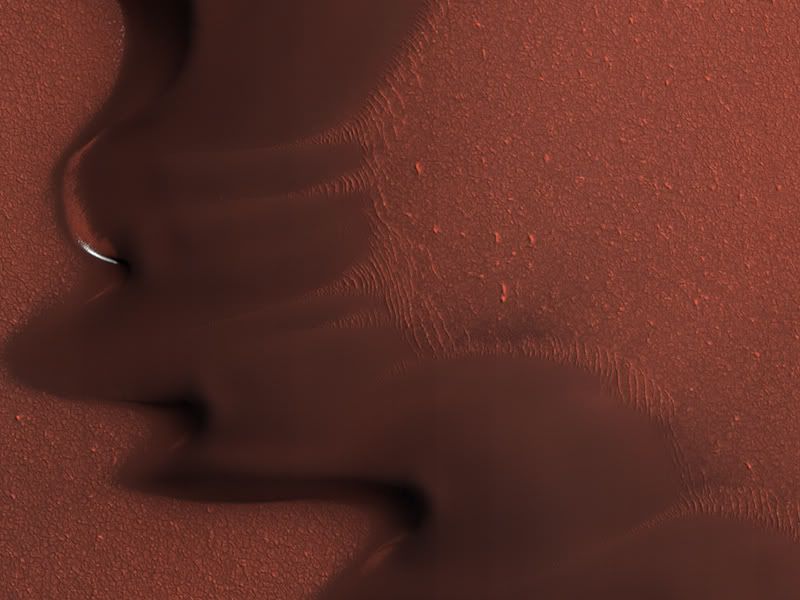
 Dust Devil Tracks and Barchan Dunes in Terra Cimmeria, Image Credit: NASA/JPL/University of Arizona.
This image shows a set of dark sand dunes within the northern part of an unnamed crater in the Terra Cimmeria region.The side of the dunes with the horns has a steeper slope and the rounded side a more shallow slope. These types of dunes are called "barchans" and on Earth, form in areas with a limited sand supply.
 Streamlined Features in Argyre Planitia, Image Credit: NASA/JPL/University of Arizona.
'X' marks the spot for this un named feature in the Argyre Planitia.
 Image Credit: NASA/JPL/University of Arizona.
 False colour image of Dark Sand and Bedrock Interaction in Noctis Labyrinthus Pit.
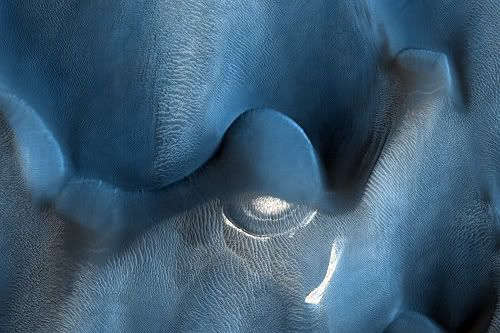 Image Credit: NASA/JPL/University of Arizona.
Light-Toned Material among Dunes in Lyot Crater.
 Evolution of North Polar Dunes, Image Credit: NASA/JPL/University of Arizona.
This image was taken in a small unnamed crater adjacent to the North Polar Erg which contains a fascinating dune field. The circular shape of this dune field is unusual as the outer dunes appear to reflect changing winds whereas the central dunes do not. This could indicate several distinct stages in the formation of the dune field.
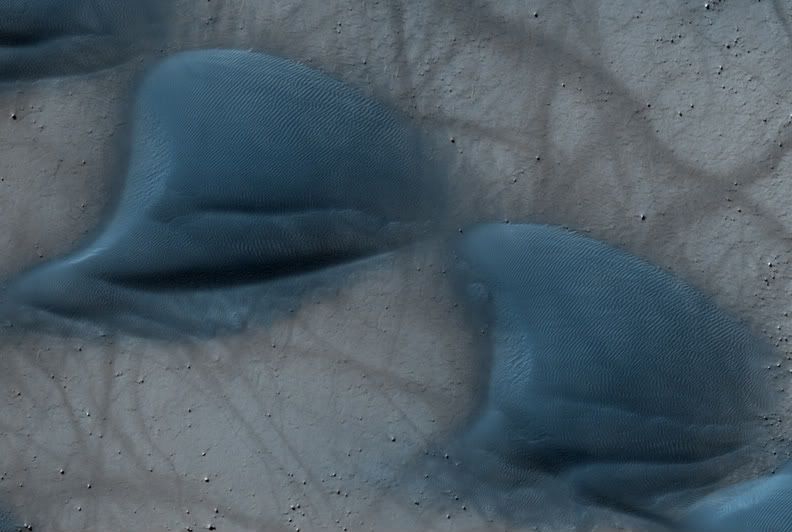
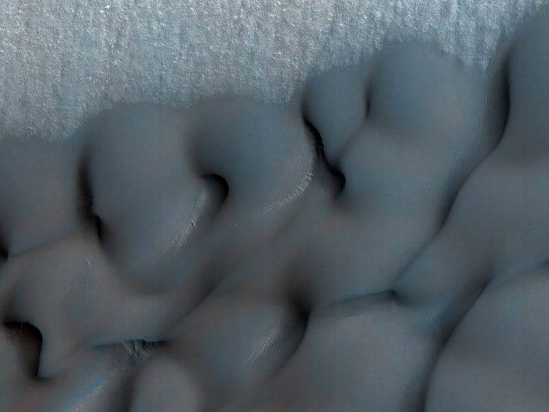
 Crater Bound Dunes, Image Credit: NASA/JPL/University of Arizona.
This north polar dune field is bounded by a small unnamed crater about 11 kilometers in diameter in the Vastitas Borealis region. The crater has captured deposits of basaltic sand that may have been transported from the North Polar Erg. This region experiences a variety of winds that blow from various directions during different seasons and times of day, which can be seen by the many transitioning dunes present.
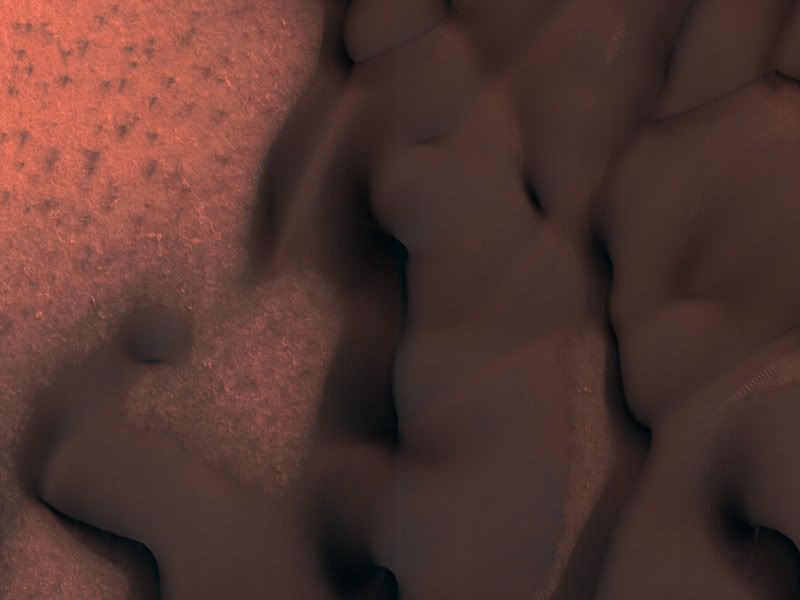
Defrosted Margin of the North Polar Erg, Image Credit: NASA/JPL/University of Arizona.
This image shows a traverse across a section of the North Polar erg, a vast sea of sand that surrounds the polar cap. The source of the dunes may be from the eroding north polar layered deposits.
More Information.


No comments:
Post a Comment